
Mapping Indianapolis
SUN, SEP 20 | 2 PM - 3 PM The Indianapolis Public Library
Add to calendar +About
Mapping Indianapolis
2:00pm - 3:00pm
Central Library
Culture, History, and Society—Historic Indianapolis
Local Spotlight: Indianapolis-Marion County
What is GIS?—Learn more about the basics of GIS (Geographic Information Systems) and how your daily life is impacted by geography. Are you curious about how your Google Maps app works? Do you want to know more about how modern maps are made online? We will explore GIS in an easy-to-understand way using real-world examples from Indianapolis-Marion County.
Presented by: Katie Springer, Indiana State Data Center
Reading List
Indianapolis-Marion County resources exploring geography, data, and local history.
Location: This program will be held in person in the Indianapolis Special Collections Room (ISCR) on the 6th floor of Central Library.
Parking: The Central Library has a parking garage available to patrons during their time there. Garage pricing information is detailed here. The garage can be accessed on Pennsylvania Street.
This program is part of the Culture, History, and Society programs hosted by the Indianapolis Special Collections Room (ISCR). Made possible by the Indiana State Data Center and the NASA/JPL Solar System Ambassador program.
Contact: Special Collections Librarian Montoya Barker
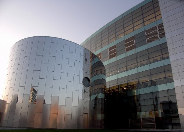
The Indianapolis Public Library
40 E. St. Clair St.District: Monument Circle / Wholesale District Area: Downtown Core